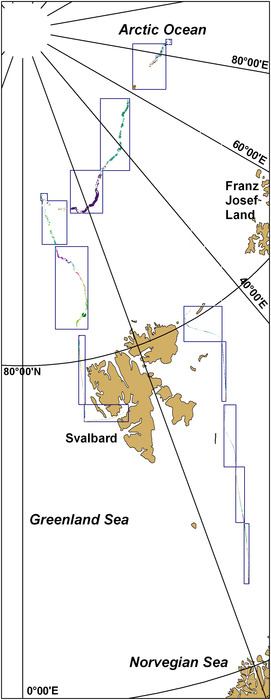
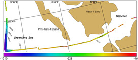
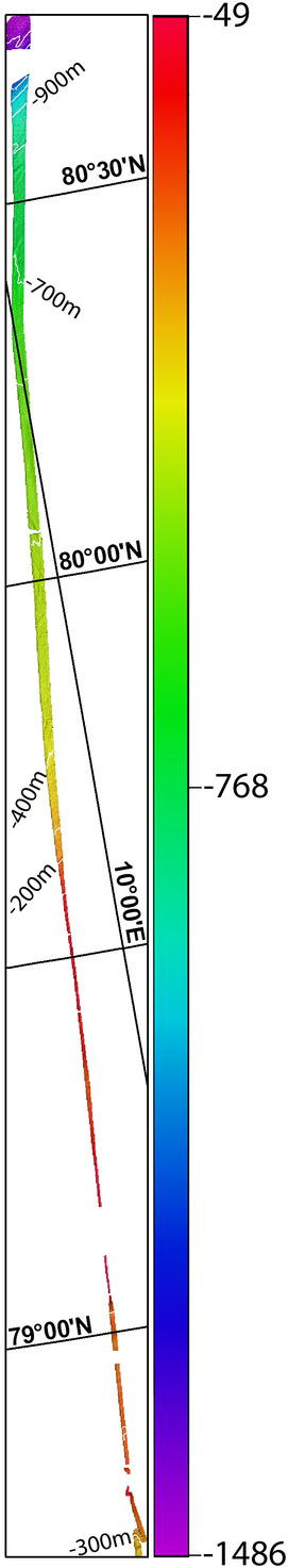
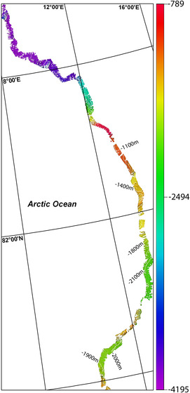
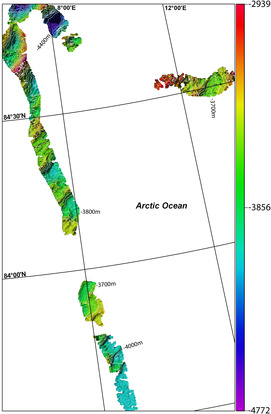
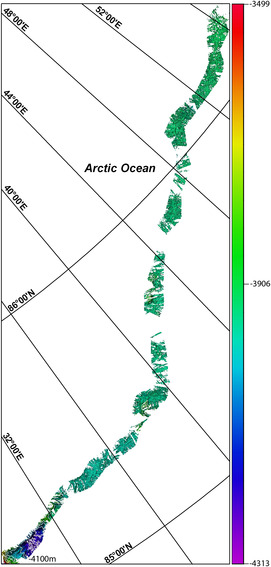
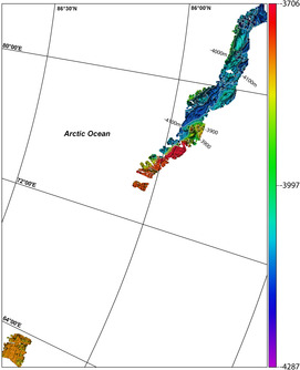
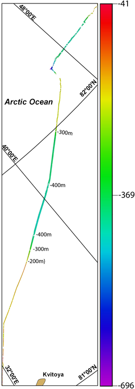
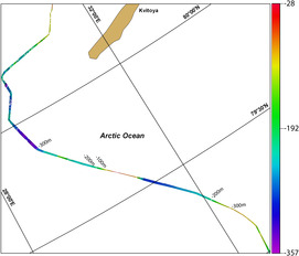
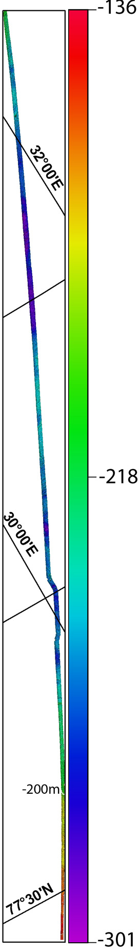
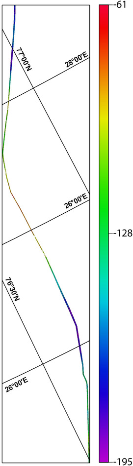
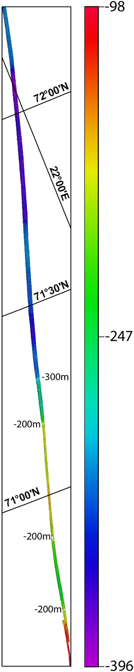
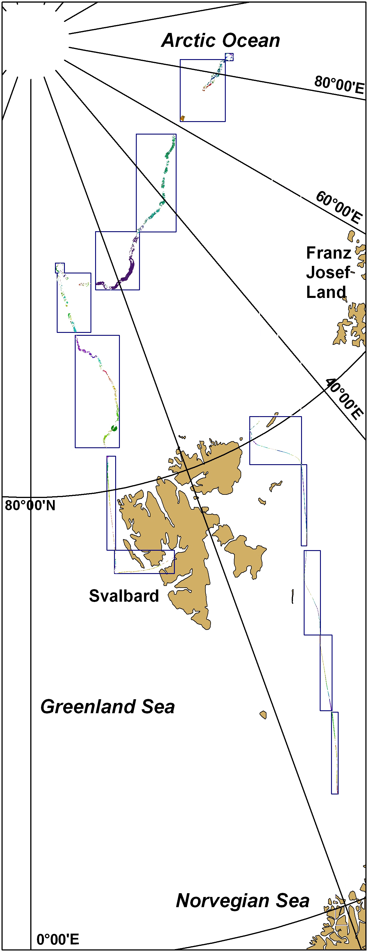
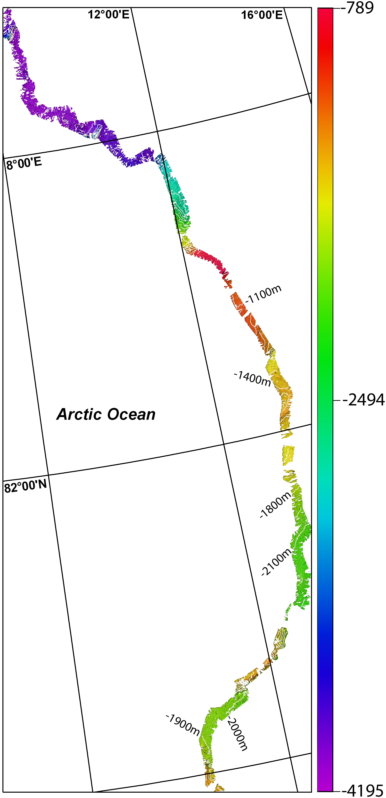
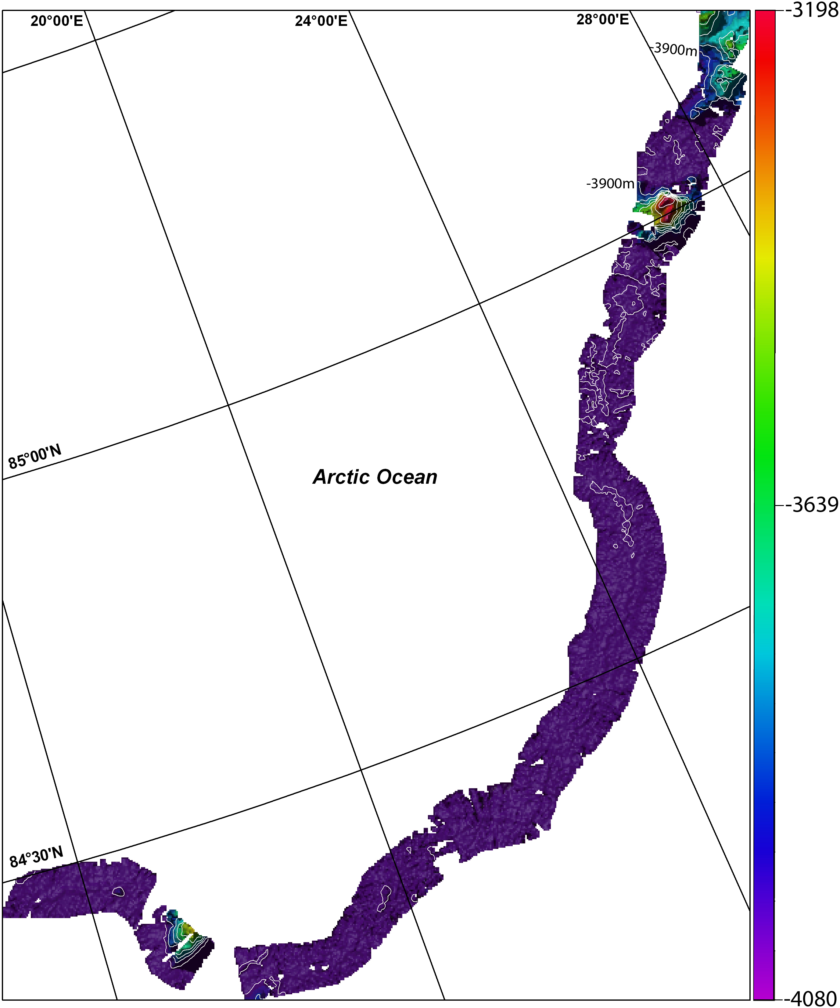
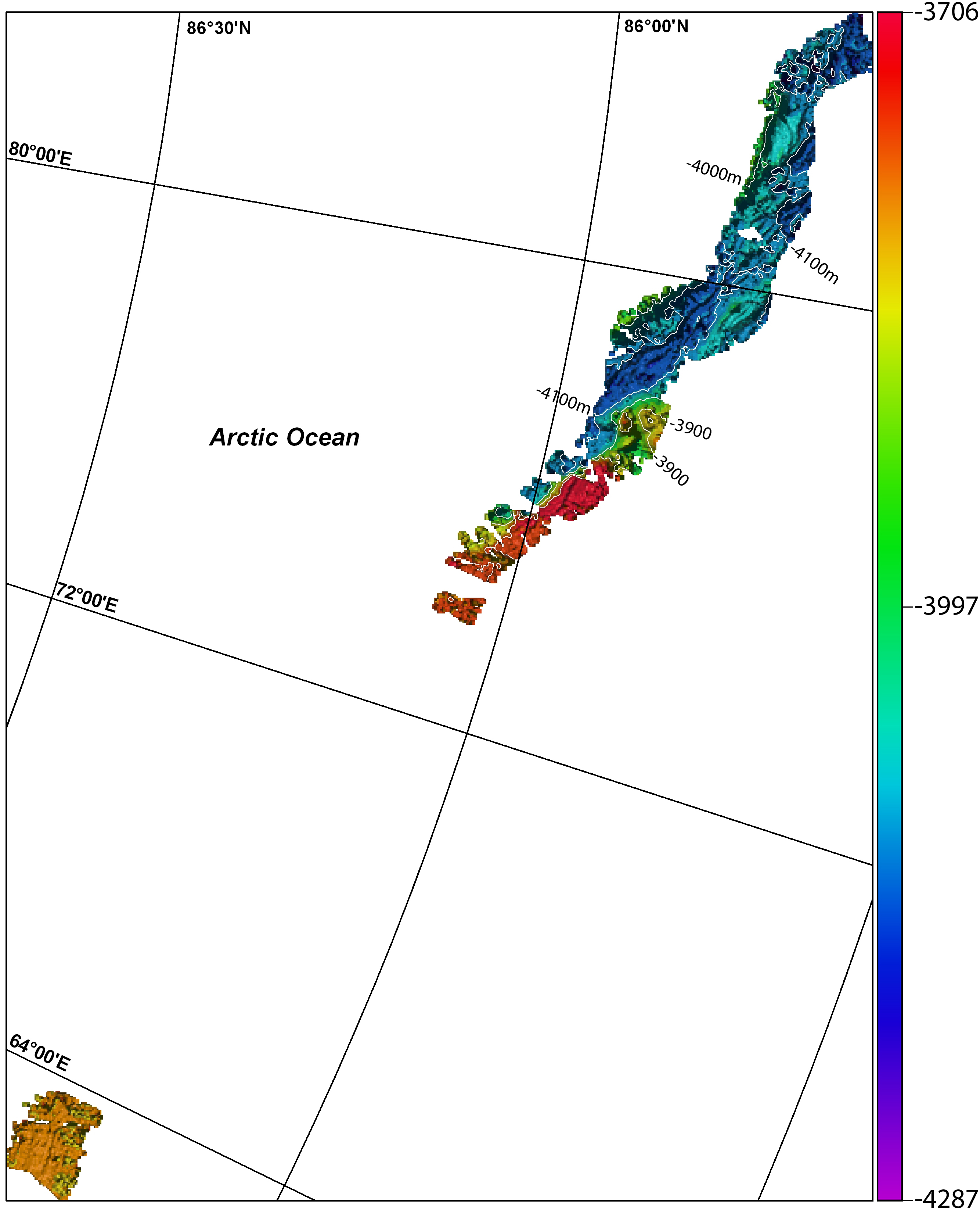
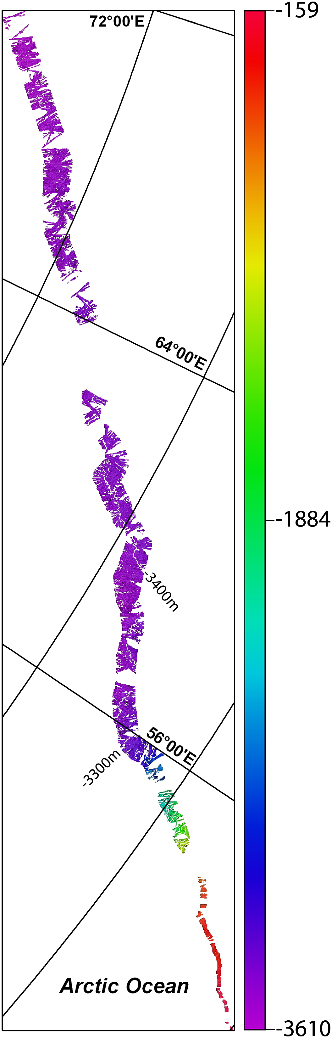
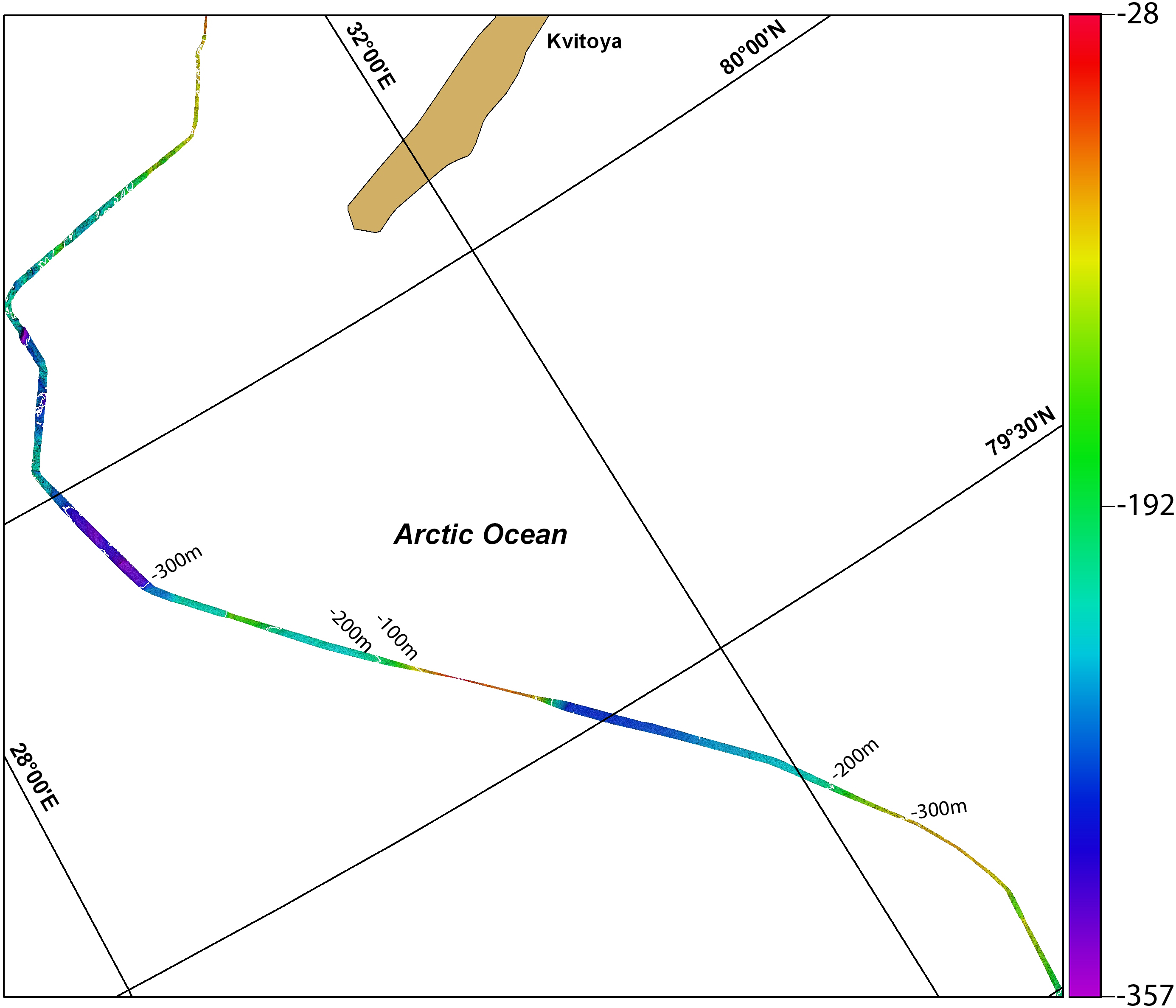
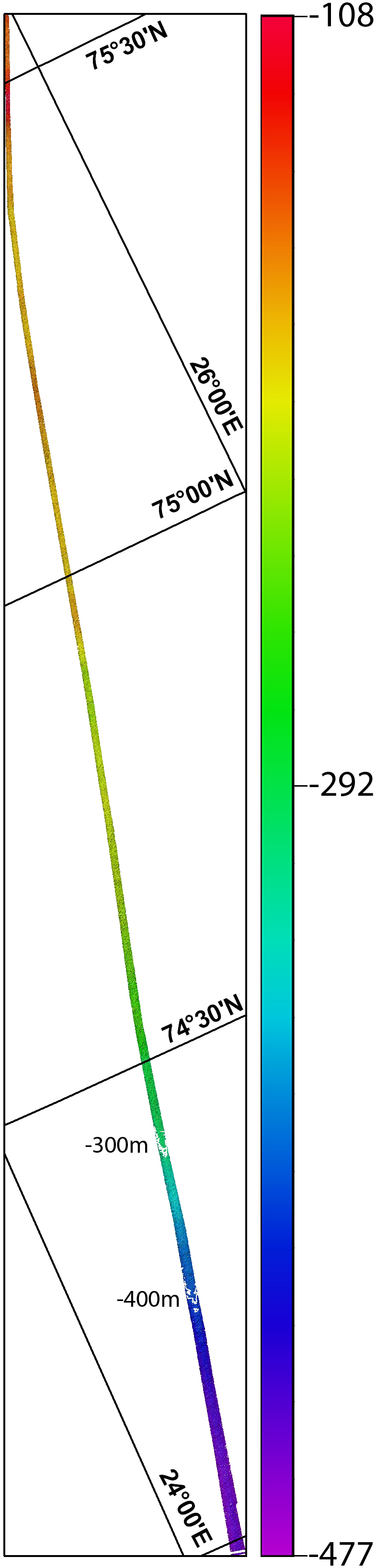
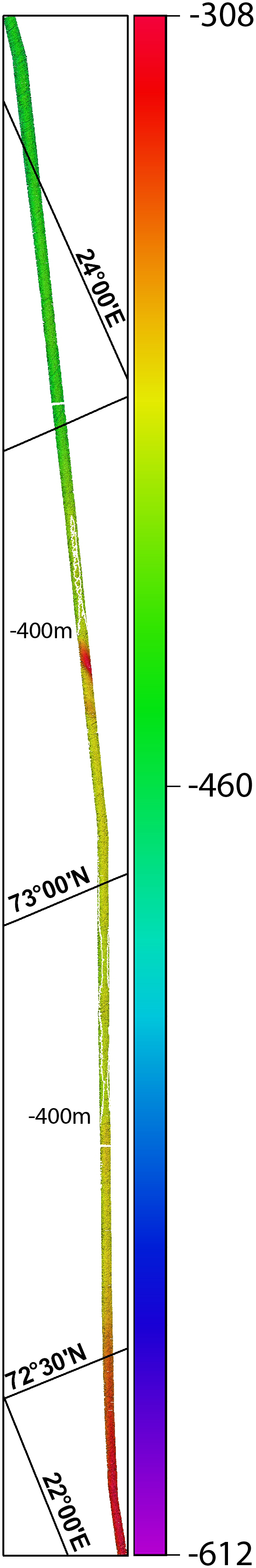
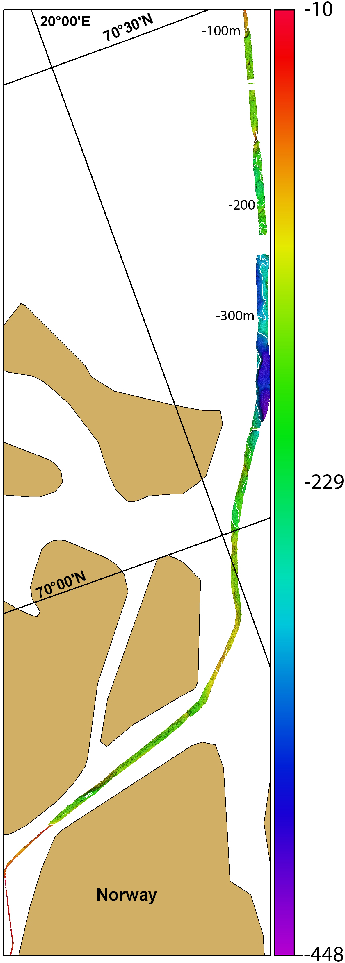
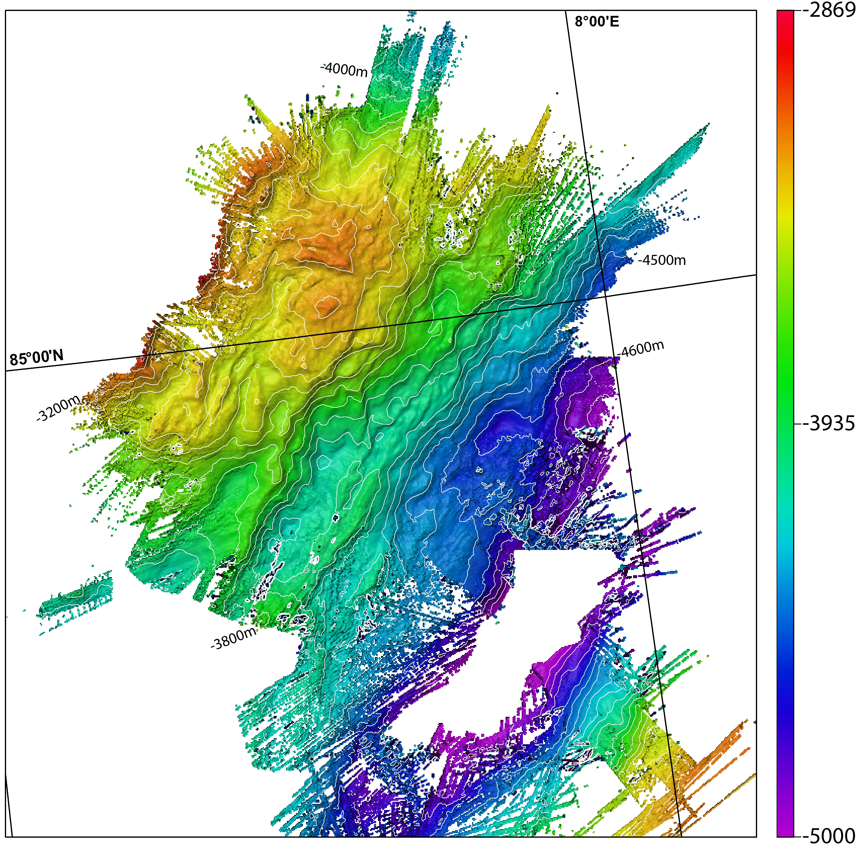
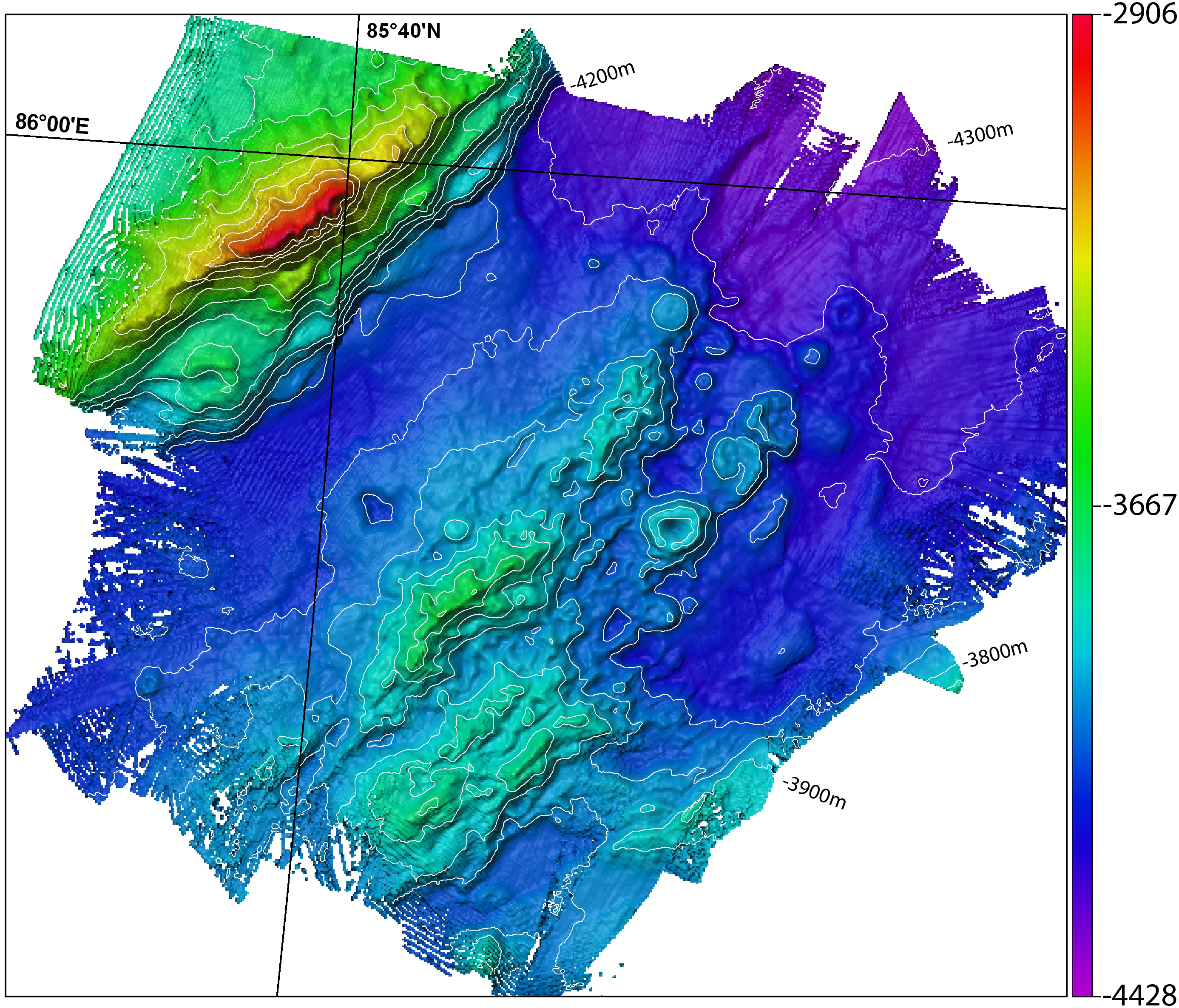
Data
In the list below links to data files are provided for the corresponding fieldsheets. The multibeam data are available in various formats: netCDF files, Fledermaus SD object files and ArcView ASCII files. The data is provided in polar stereographic projection as well as in latitude-longitude.


Further information
Further information about the cruise and the sonar instruments may be obtained at the following links.