Oden Mapping Data
OSO 0910
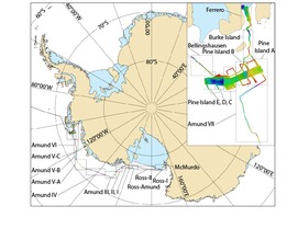
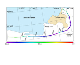
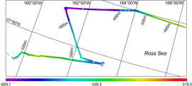
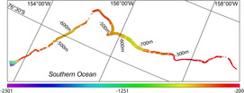
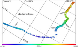
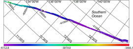
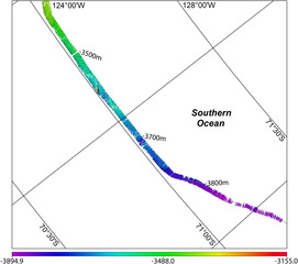
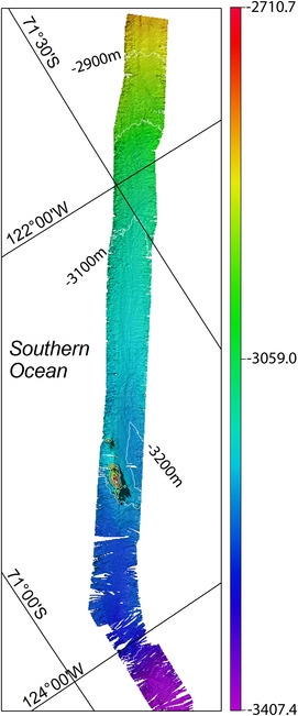
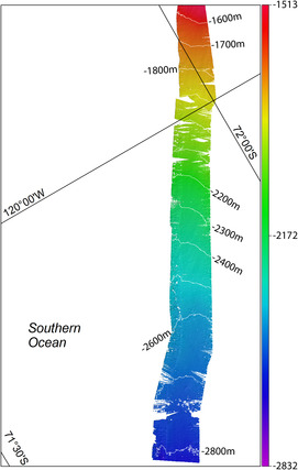
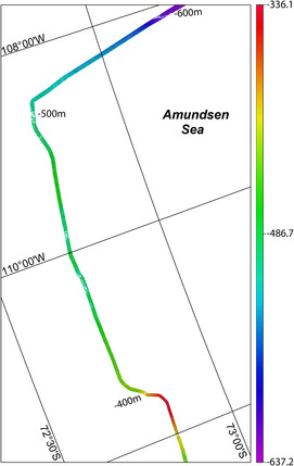
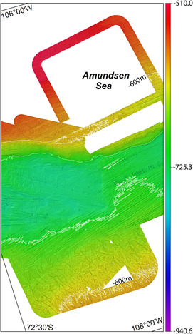
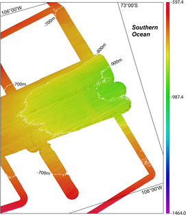
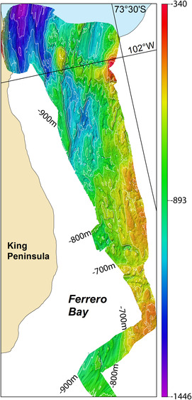
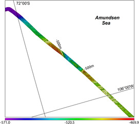
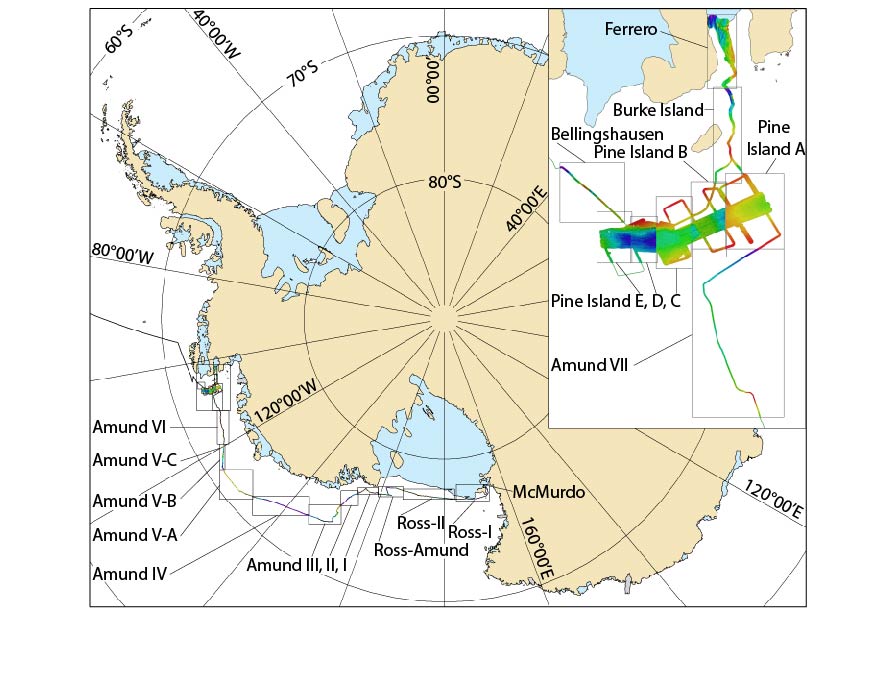
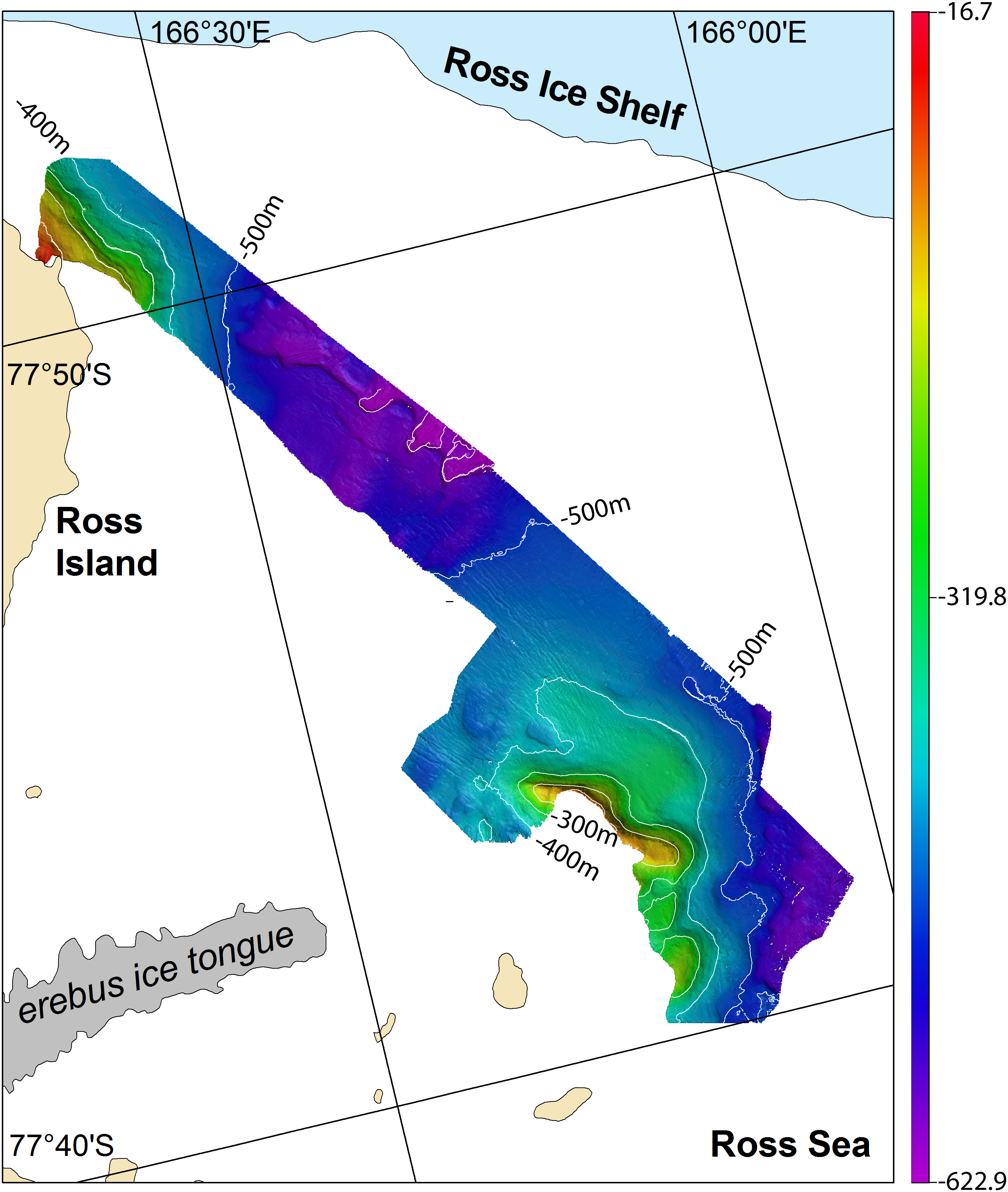
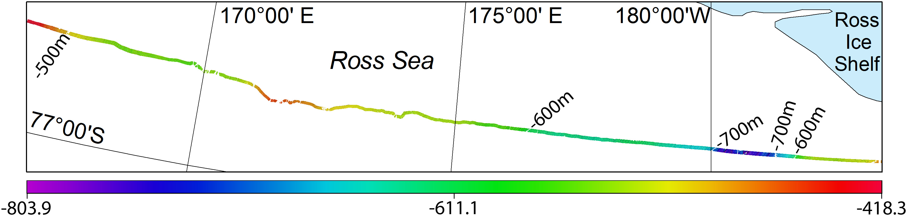
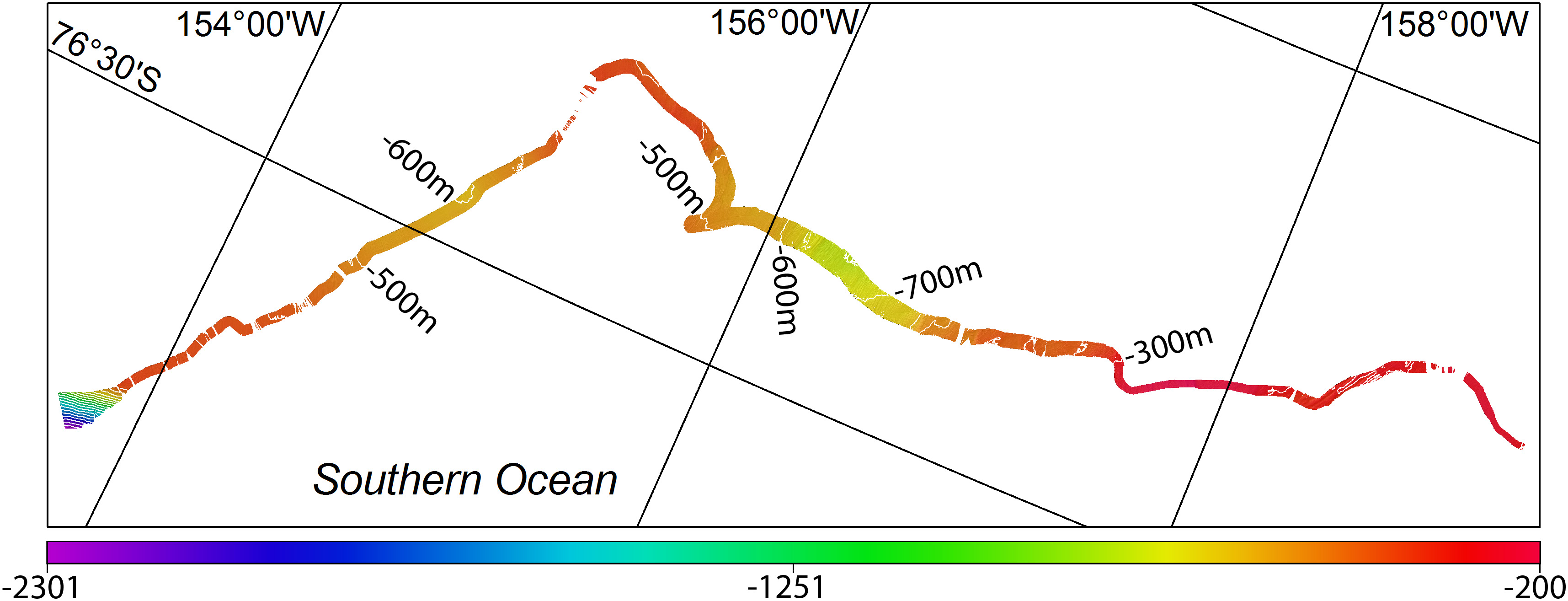
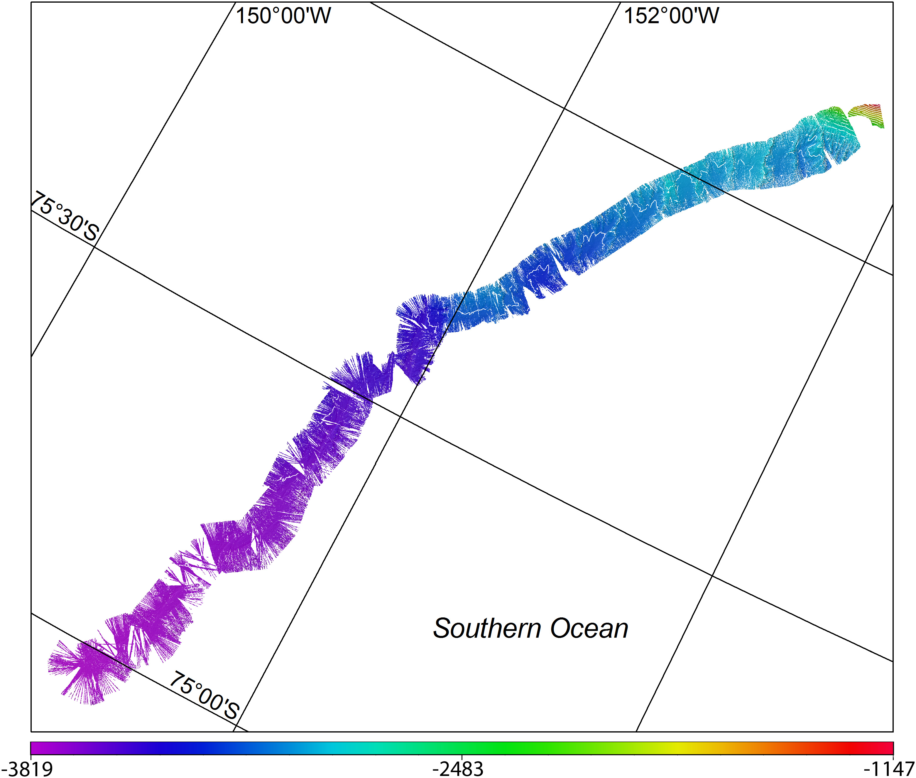
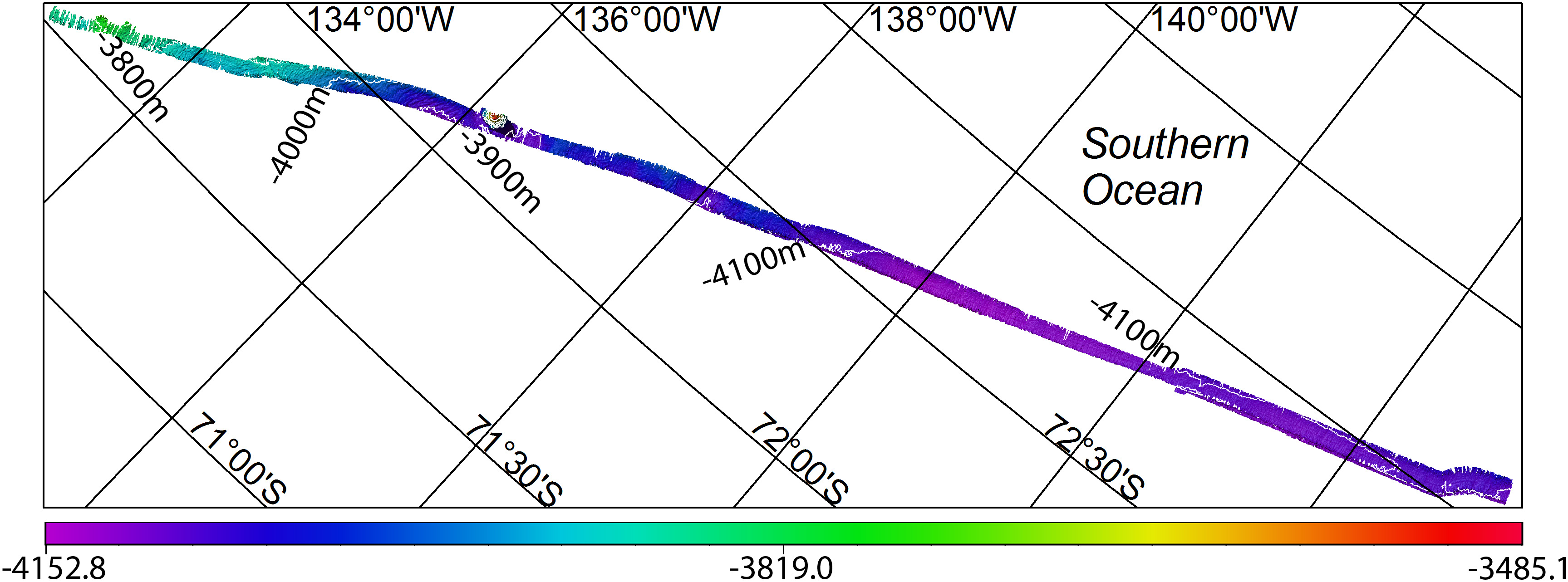
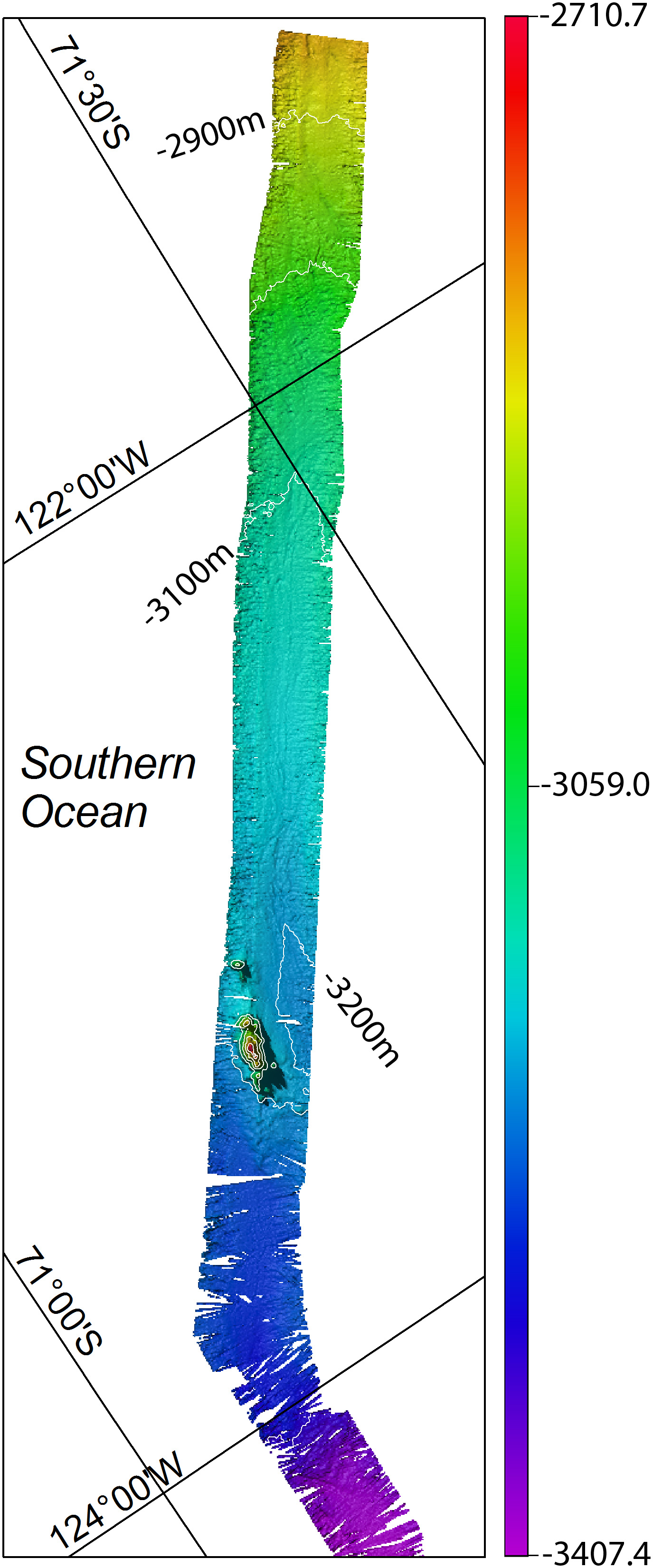
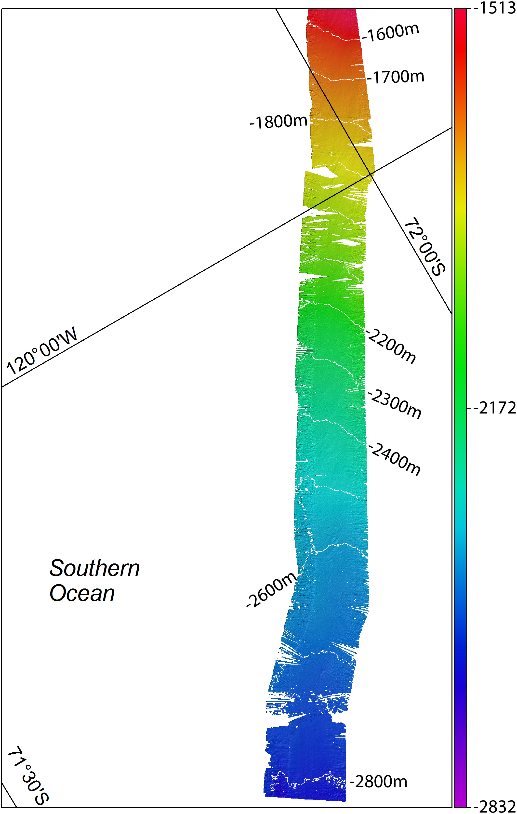
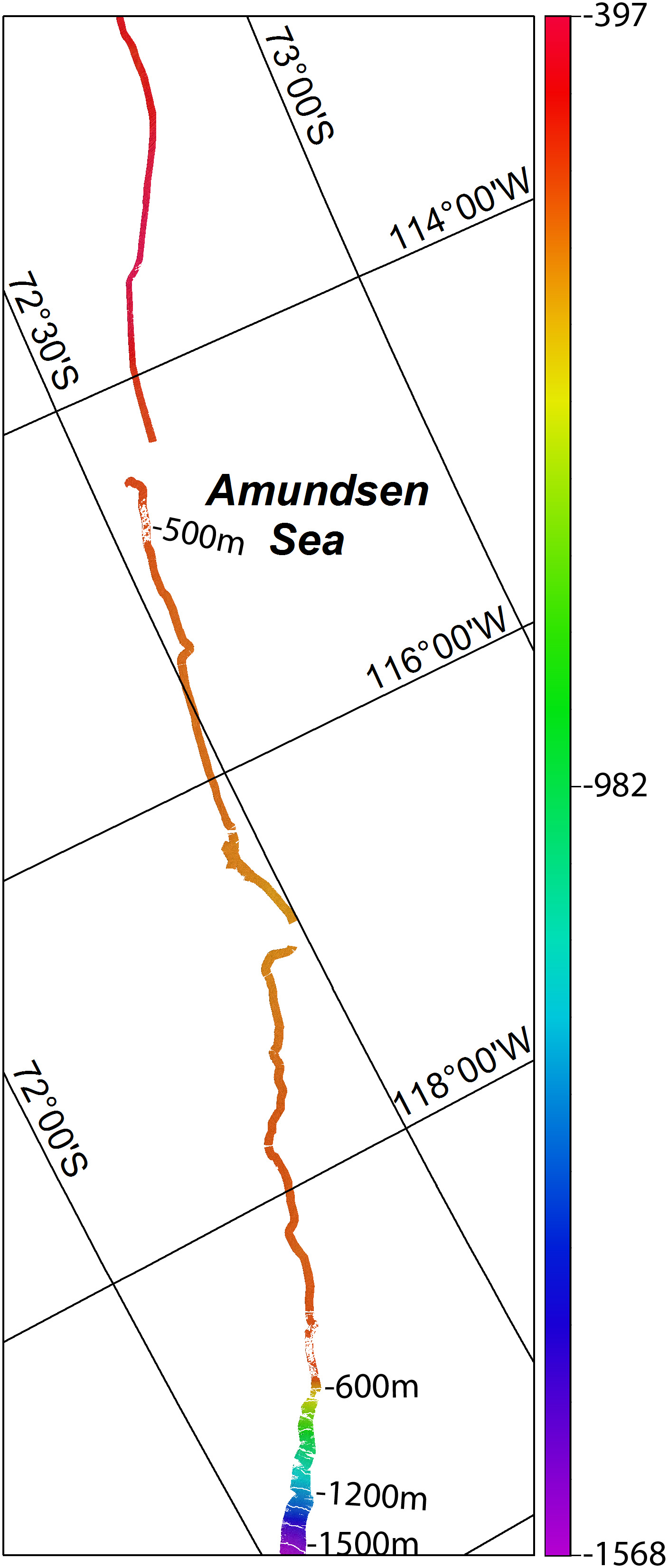
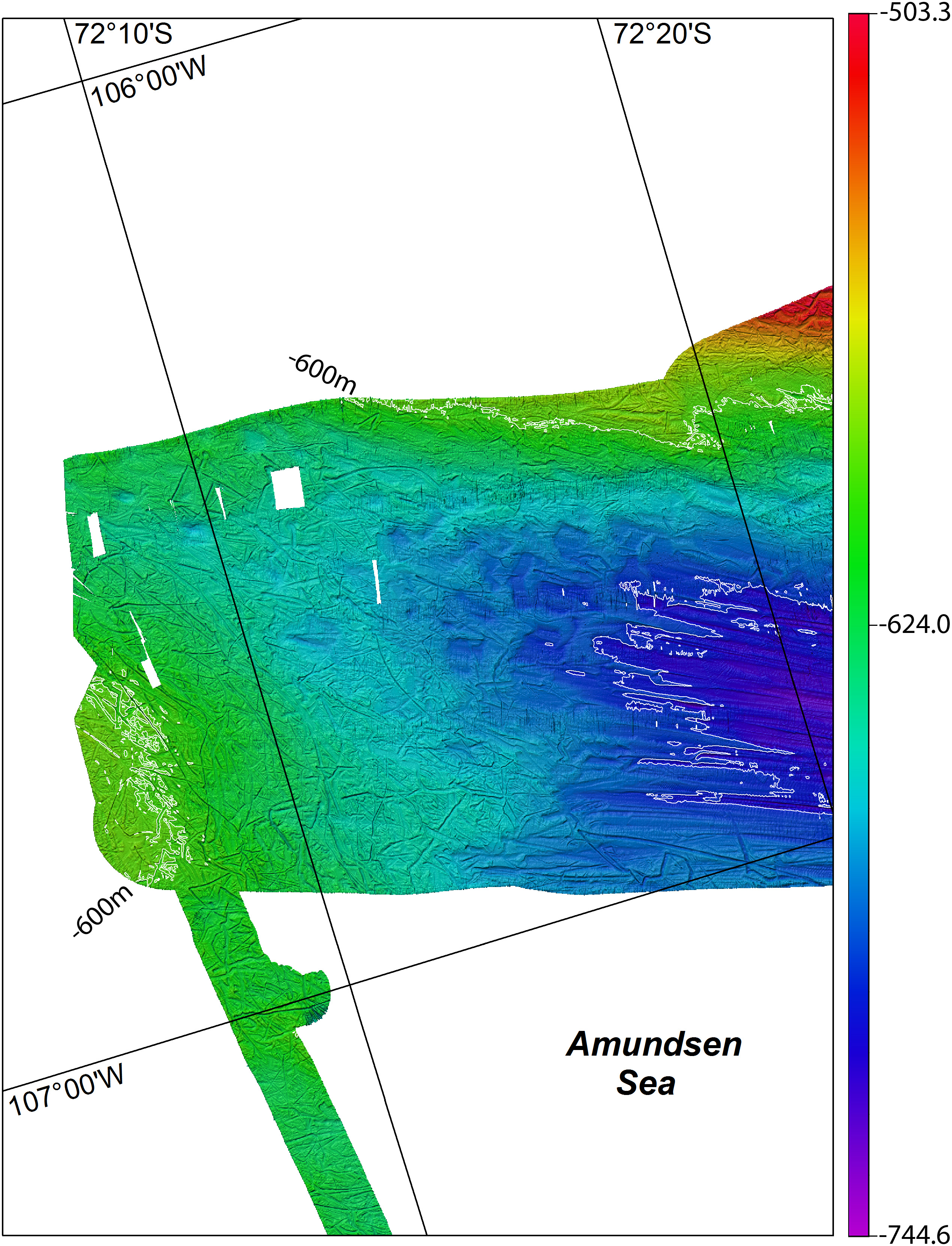
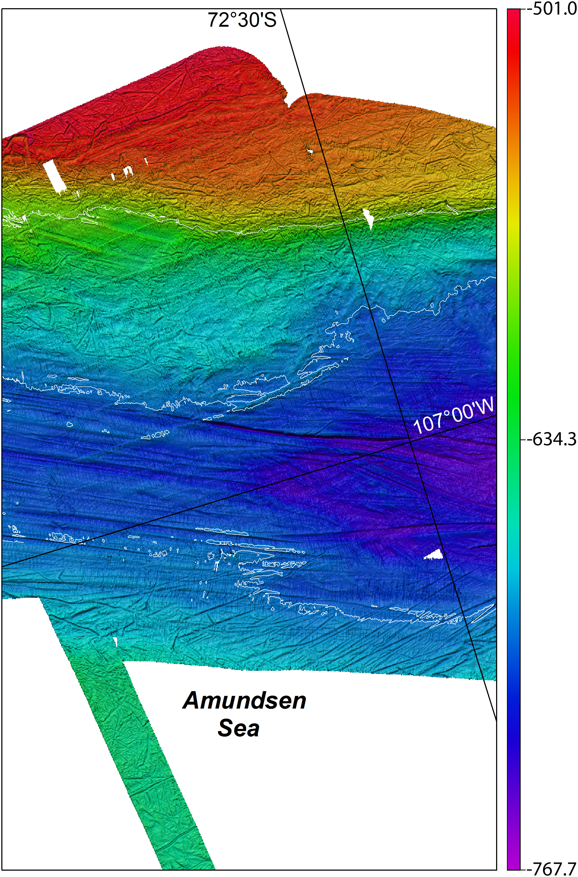
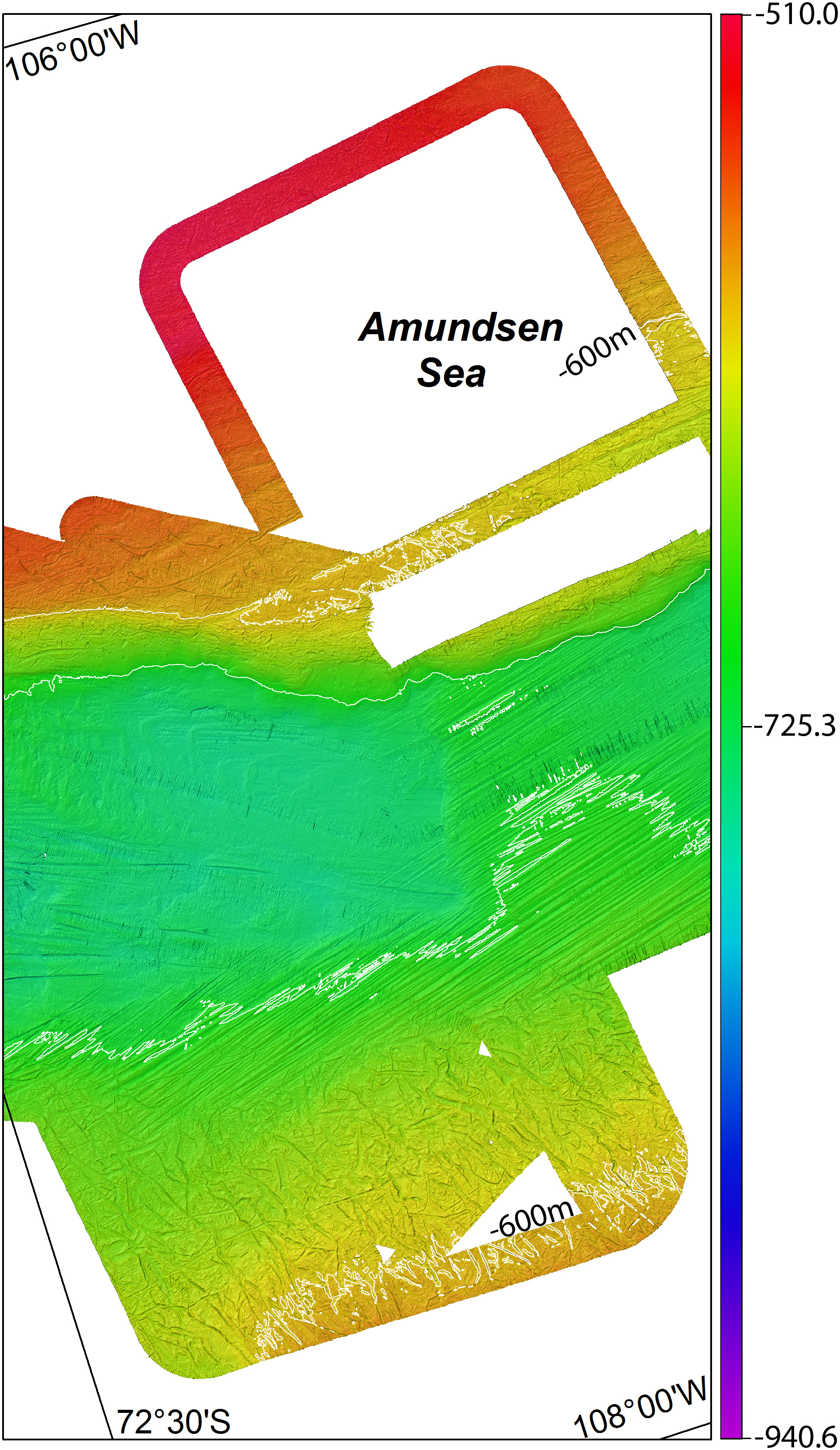
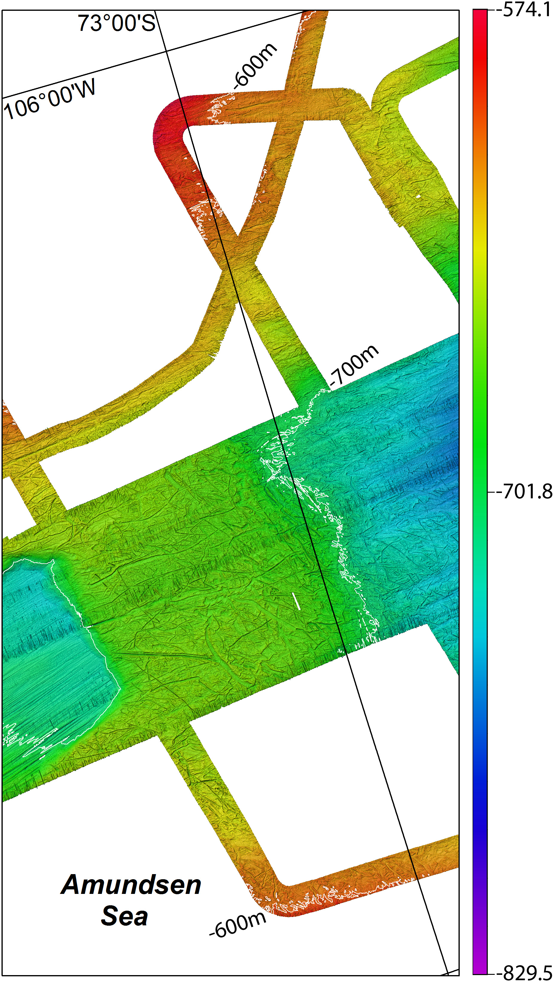
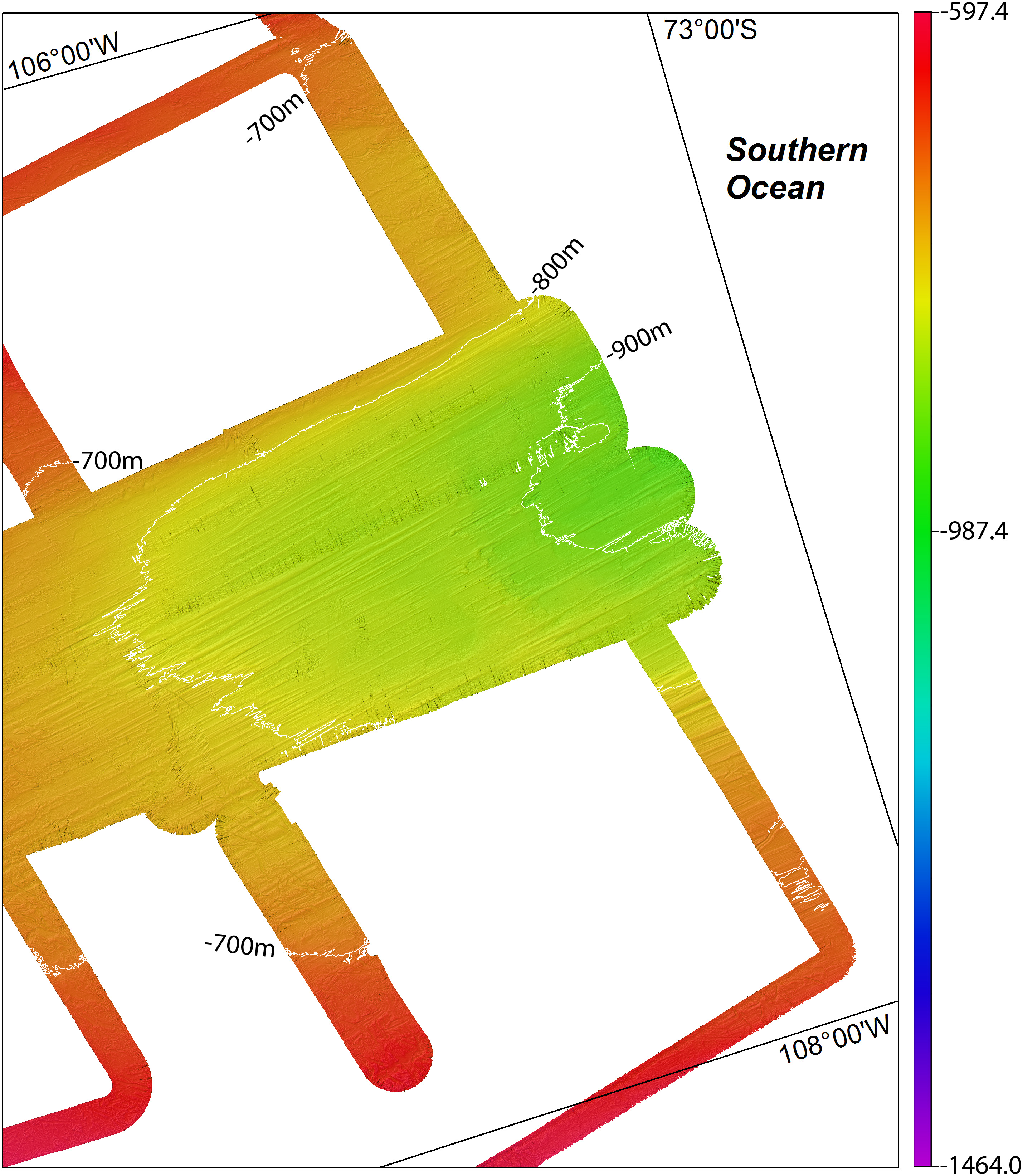
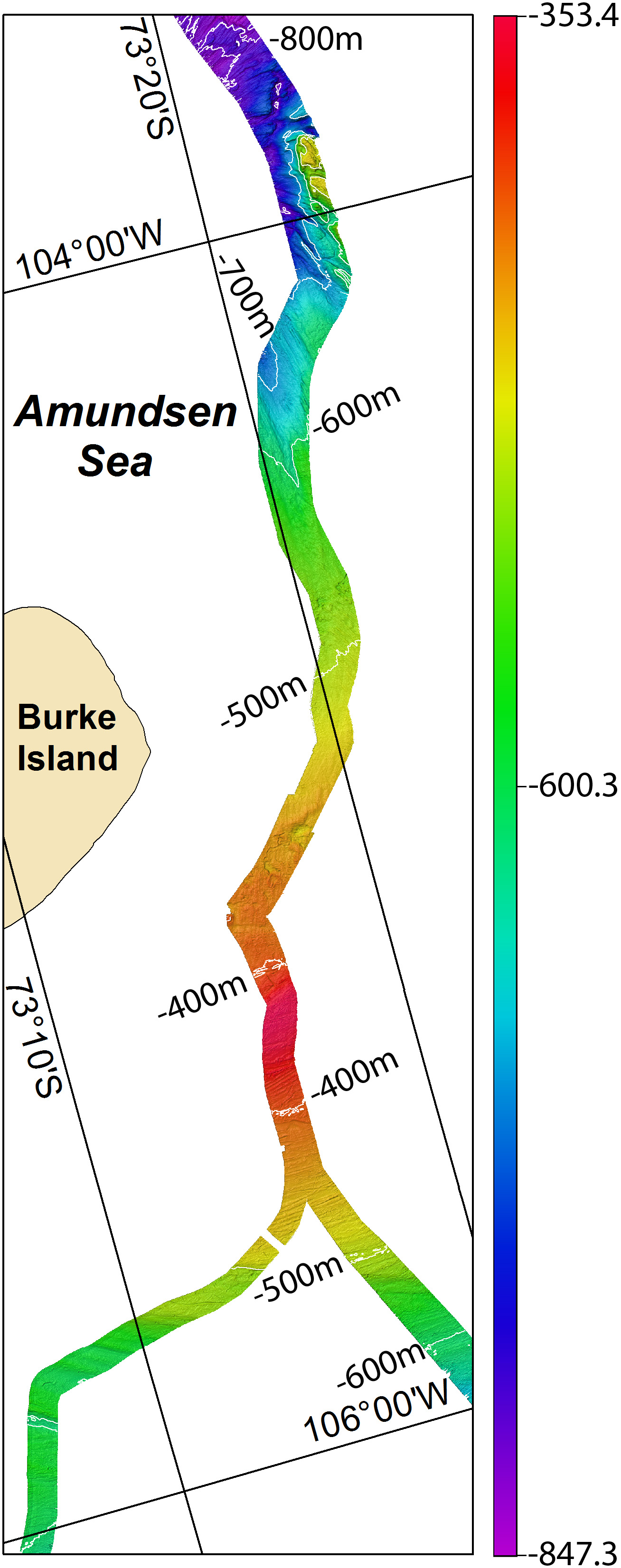
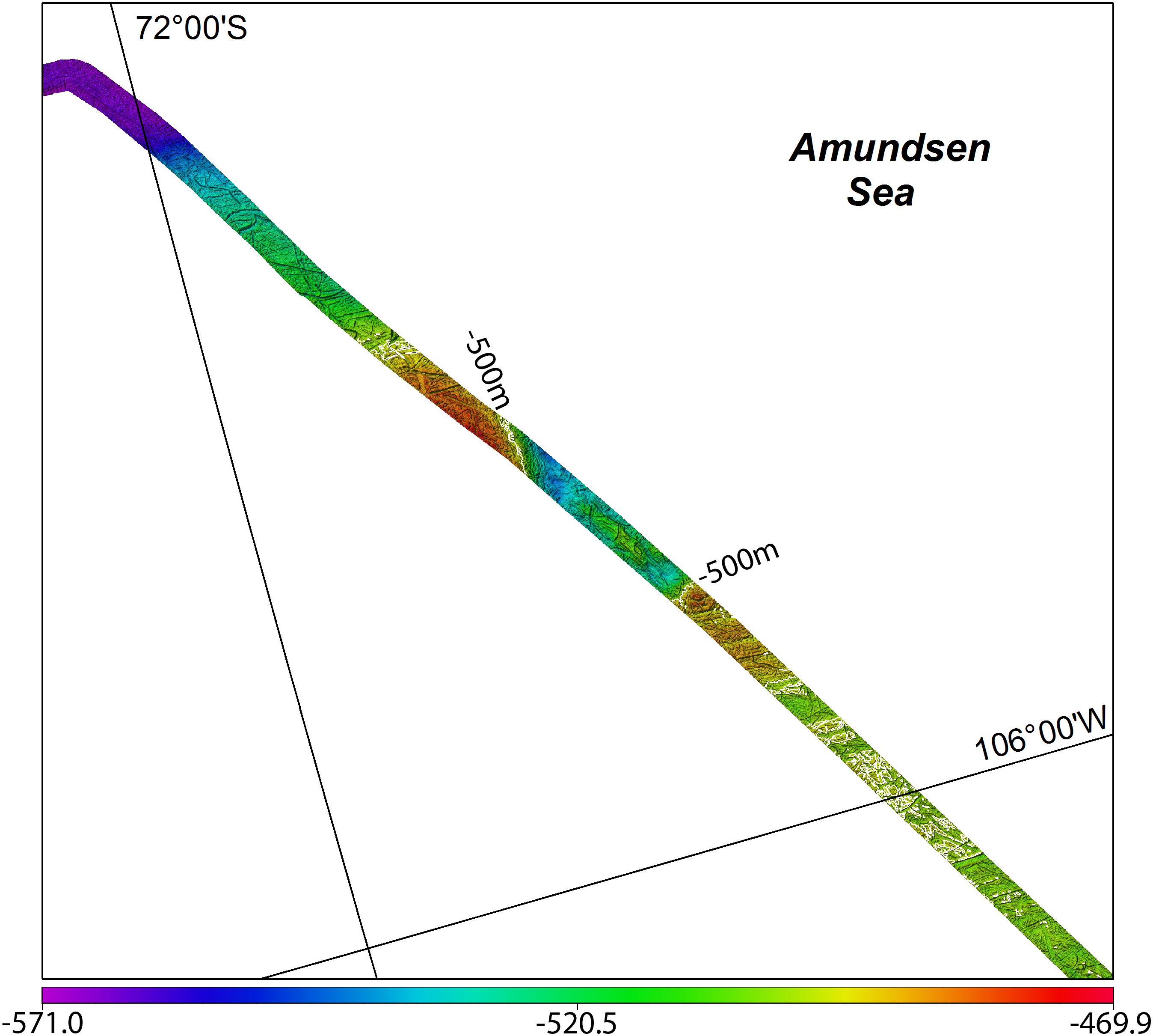
Here are gridded multibeam data for the OSO 0910 expedition available. All data are provided in south polar stereographic projection true scale 71°S, central meridan 0° and WGS84.
Citations
Please cite the following articles when using these data.
- Jakobsson, M., Anderson, J.B., Nitsche, F.O., Dowdeswell, J.A., Gyllencreutz, R., Kirchner, N., O'Regan, M.A., Alley, R.B., Anandakrishnan, S., Mohammad, R., Eriksson, B., Fernandez, R., Kirshner, A., Minzoni, R., Stolldorf, T., Majewski, W., 2011. Geological record of Ice Shelf Breakup and Grounding Line Retreat, Pine Island Bay, West Antarctica. Geology 39, 691-694.
 Download full text article
 - Anderson, J., Jakobsson, M., OSO0910 Scientific Party, 2010. Oden Southern Ocean 0910: Cruise Report, In: Meddelanden från Stockholms universitets institution för gelogiska vetenskaper. No 341, pp. 134.


